
 1884 1884
|
1913
|
![Plate 1 from Atlas of the Town of Brookline, Norfolk County, Massachusetts. 1893. (Brookline Public Library: [Brookline Room] 917.445 B76 1893) Streets on map: Boylston Street, Walnut Street](wp-content/uploads/2013/11/atlas1893_plate1.jpg)
click image for larger view or download higher resolution pdf
Plate 1 from Atlas of the Town of Brookline,
Norfolk County, Massachusetts. 1893.
(Brookline Public Library: [Brookline Room] 917.445 B76 1893)
Streets on map: Boylston Street, Walnut Street.
click image for larger view or download higher resolution pdf
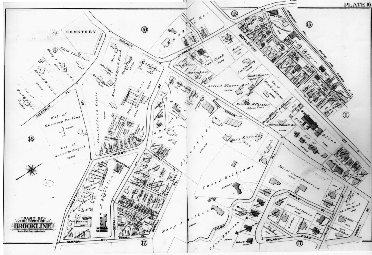
Plate 16
Streets on map: Cypress Street, Harvey (Upland) Street, Irving Street,
Maple Street, Upland Road, Walnut Place, Walnut Street, Wellington Terrace.
click image for larger view or download higher resolution pdf
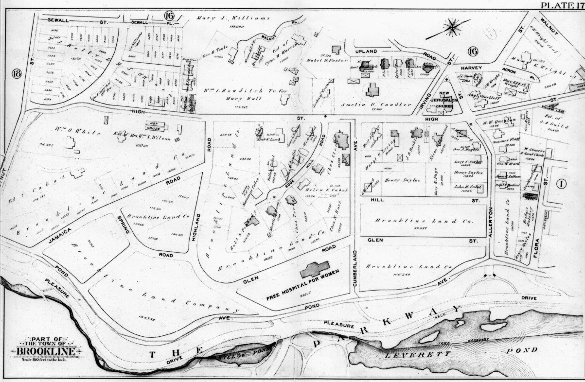
Plate 17
Streets on map: Acron Place, Allerton Street, Cumberland Avenue, Edgehill Road,
Glen Road, Harvey (Upland) Street, High Street, Highland Road, Hill (Hawthorn) Street,
Pond Avenue, Upland Road.
|
1884
|
1913
|